
Topographic Survey: Price and Quotes
The price of a topographic survey varies greatly depending on the terrain dimensions and characteristics. In most cases, the most economical prices start from around 300 €, and the highest exceed 5,000 € if the work includes land demarcation.
The amounts are indicative and come from the original imported guide. The final budget depends on the scope, materials, and previous condition of the space.
Last reviewed
July 2026
Edited by: Luis Rodenas
Pricing method
Indicative ranges are compared by scope, measurements, materials, labour, permits, VAT and contingency.
Alicante context
Confirm access, community rules, salt-air exposure and municipal requirements before accepting a quote.
Service Levels and Pricing
Compare the different options available based on your budget and needs for your topographic survey.
Basic
Topographic survey of small to medium-sized plots without special complexity. Ideal for residential parcels or straightforward projects.
Standard
Complete survey of medium-sized plots with varied features. The most popular option that includes full documentation for construction projects.
Premium
Complete topographic survey with boundary demarcation and exhaustive documentation. For large, complex projects or those requiring legal boundary marking.
Share your project details and get free contact with professionals who work on similar projects.
Cost of performing a topographic survey
See what homeowners usually pay for the most common tasks. Use these ranges to fine-tune your scope and avoid missing key items in your budget.
Topographic survey of urban land
Topographic survey of rural property
Topographic survey of steep rural property
Topographic survey of mine
Forest topographic survey
Topographic survey for land boundary demarcation
How is a topographic survey carried out? with Reformia
The cost of performing a topographic survey will vary greatly depending on the dimensions of the land and its own characteristics. In most cases, the most economical prices can be found starting from around 300 €, and the highest above 5.000 € if boundary stone placement is included in the work.

1. Work planning
This is the initial phase in which the working methodology and instruments to be used to execute the survey in question are chosen. When performing a topographic survey, a distinction can be made between planimetric and altimetric survey. The former encompasses all tasks that must be performed to certify the surface represented in the plan. It is more common when surveying already built spaces. On the contrary, the altimetric survey refers to all the work performed to obtain data on the heights of a given plane.

2. Field work
This includes all phases and actions aimed at collecting data on the terrain itself. This implies that surveyors travel to the terrain on which the topographic survey will be executed, an action they perform with different devices and tools that allow them to measure on-site and collect all data associated with the terrain. Work includes tasks performed using optical or electronic theodolite, distance meter, total or semi-total station, etc.

3. Office work
This is the mathematical activity that makes it possible to transfer the data obtained from field work to the plan. In this phase of the land survey, the data obtained with the different equipment during field work is transferred to digital devices, and from there, computer work begins. During this phase, raw data is converted into data that can be translated into digital language, which later allows the terrain to be represented in the form of plans with different intersections depending on the case.
The cost of performing a topographic survey will vary greatly depending on the dimensions of the land and its own characteristics. In most cases, the most economical prices can be found starting from around 300 €, and the highest above 5.000 € if boundary stone placement is included in the work.
What is usually included in a quote
Each professional may structure quotes differently, but most project budgets follow this logic.
Typically included
Often not included
How is a topographic survey carried out?
The cost of performing a topographic survey will vary greatly depending on the dimensions of the land and its own characteristics. In most cases, the most economical prices can be found starting from around 300 €, and the highest above 5.000 € if boundary stone placement is included in the work.
1. Work planning
This is the initial phase in which the working methodology and instruments to be used to execute the survey in question are chosen. When performing a topographic survey, a distinction can be made between planimetric and altimetric survey. The former encompasses all tasks that must be performed to certify the surface represented in the plan. It is more common when surveying already built spaces. On the contrary, the altimetric survey refers to all the work performed to obtain data on the heights of a given plane.
2. Field work
This includes all phases and actions aimed at collecting data on the terrain itself. This implies that surveyors travel to the terrain on which the topographic survey will be executed, an action they perform with different devices and tools that allow them to measure on-site and collect all data associated with the terrain. Work includes tasks performed using optical or electronic theodolite, distance meter, total or semi-total station, etc.

3. Office work
This is the mathematical activity that makes it possible to transfer the data obtained from field work to the plan. In this phase of the land survey, the data obtained with the different equipment during field work is transferred to digital devices, and from there, computer work begins. During this phase, raw data is converted into data that can be translated into digital language, which later allows the terrain to be represented in the form of plans with different intersections depending on the case.
What can change your final price
Even similar projects can end with different budgets. These are the factors that most often push costs up or down.
Land area and dimensions
The larger the land area, the more work time and resources will be required. A survey of 500 m² will cost significantly less than one of 5,000 m².
Land complexity and topography
Terrain with steep slopes, dense vegetation, or difficult access requires more time and specialized equipment, considerably increasing the final budget.
Required precision and detail
A basic cadastral survey is more economical than a high-precision one with detailed contour lines or for complex construction projects.
Boundary markers and additional work
Placement of boundary markers, boundary re-surveys, or boundary demarcation work adds significant costs that can double or triple the base survey price.
Next step
Use "Topographic Survey: Price and Quotes" to prepare a short brief before requesting quotes: current condition, must-have scope, optional upgrades, access constraints and timing. Then compare it with Topographers price guides so each contractor proposal covers the same work.
How much does a topographic survey cost?
The cost of performing a topographic survey will vary greatly depending on the dimensions of the land and its own characteristics. In most cases, the most economical prices can be found starting from around 300 €, and the highest above 5.000 € if boundary stone placement is included in the work.
A topographic survey is the first phase of the technical and descriptive study of a piece of land. It observes the surface and gathers data related to its physical, geographical and geological characteristics, as well as any alterations made by humans. This data collection is carried out on the ground and allows for creating a plan that represents it accurately.
Regulations on topographic surveys
The cost of performing a topographic survey will vary greatly depending on the dimensions of the land and its own characteristics. In most cases, the most economical prices can be found starting from around 300 €, and the highest above 5.000 € if boundary stone placement is included in the work.
A topographic survey must always be performed by qualified professionals, such as a technical engineer in Surveying or in Geomatics and Surveying.
On the other hand, it should be noted that there are different types of topographic surveys:
- Urban cadastral topographic surveys: these are normally performed to know the exact measurements of a building or as a preliminary step to construction. They can also be performed to resolve cadastral discrepancies or to study urban road or public service projects. On average, this type of topographic survey usually has an approximate cost of around 400 €.
- Rural cadastral topographic surveys: these are usually performed to exactly measure the limits of a property and clearly mark the boundaries, but also in cases of subdivision. On average, it can cost around 600 €.
- Hydrographic topographic survey: it is more complicated because all aspects related to water drainage must be taken into account, both on the surface and underground. Its main function is to determine how to effectively ensure that water flow does not damage adjacent or future constructions. On average, this type of topographic survey usually has an approximate cost of around 1.000 € for a 100 m² property.
- Forest survey: it is usually more expensive than surveys on urban or even rural land due to the irregularities of the terrain and tree cover. It has different functions, such as knowledge of the forest terrain or forestry work or construction of communication routes. On average, this type of topographic survey usually has an approximate cost of around 850 € for a 100 m² property.
Because the execution of topographic surveys is in line with the performance of other work (such as plan design, execution of work and construction, or earth movement, among other activities), there are several laws related to this type of work.
Currently, the two most important are the following:
- Law 13/2015, of June 24: This is a reform of the Mortgage Law that requires properties that are to be registered to be accompanied by the corresponding geographic delimitation, which allows them to be incorporated into the cadastral cartography.
- Consolidated Regulation of the Public Water Domain: This regulation refers to the importance of the topographic survey in relation to the impact that certain activities may have on the integrity of the Public Water Domain.
A platform built equally for homeowners and professionals
Whether you're planning a renovation or looking for your next project, Reformia gives both sides the tools to connect, compare, and collaborate with confidence.
For individuals
For professionals


Demystify home renovation costs
Access clear price ranges for services and installations in your area, then create a request with realistic expectations.
Energy Suppliers
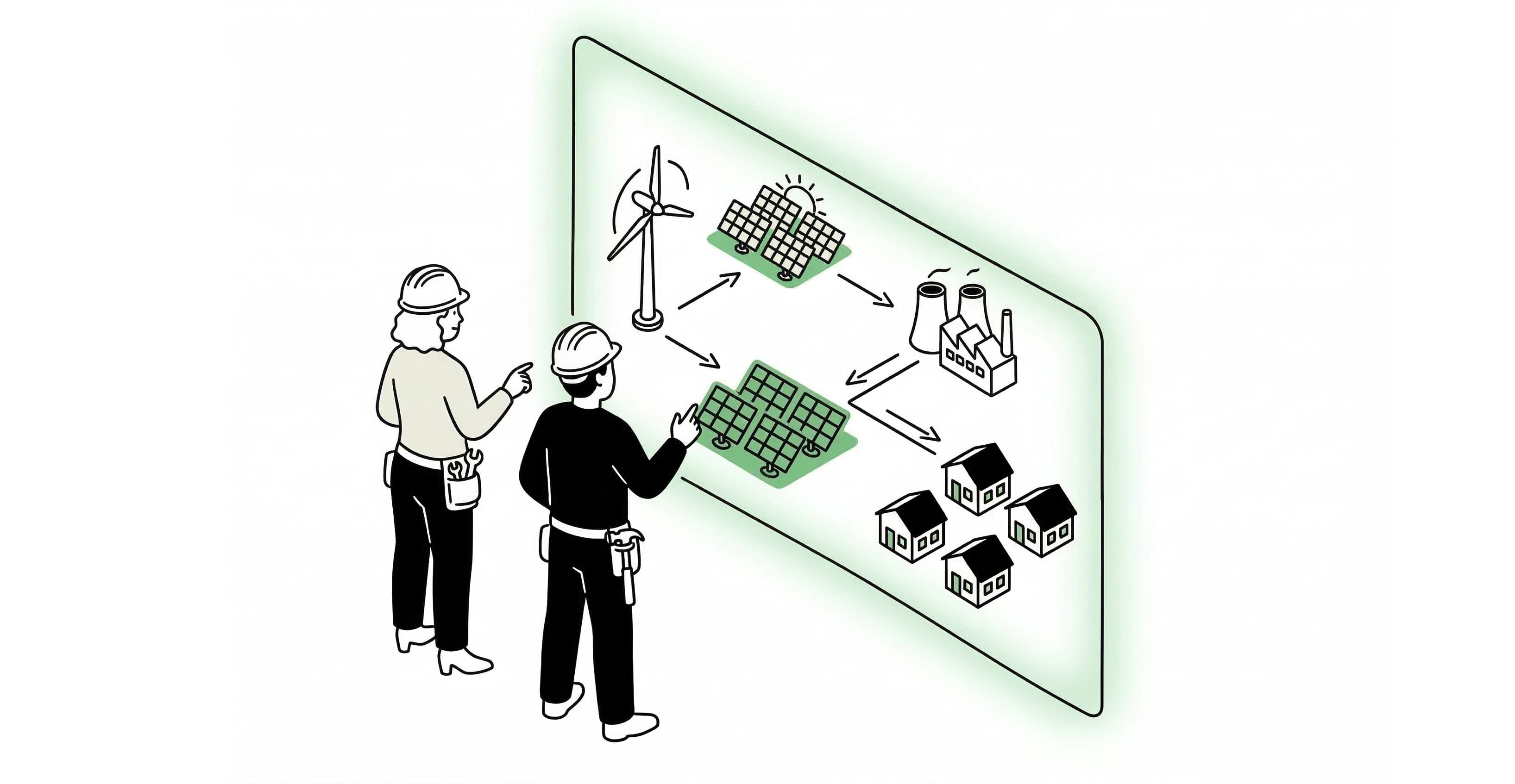
Aggregate range based on the published guides in this family, including project totals and unit pricing where relevant.
Construction
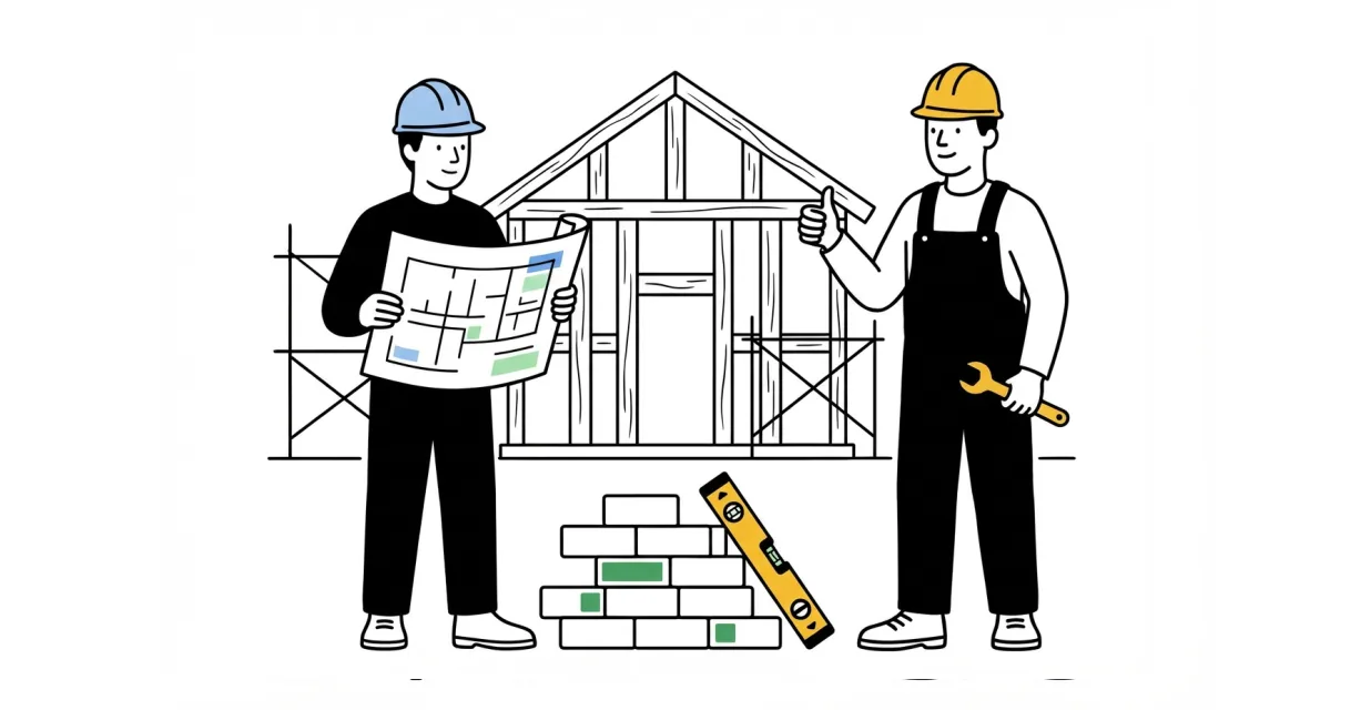
Aggregate range based on the published guides in this family, including project totals, hourly pricing, and unit pricing where relevant.
Installers
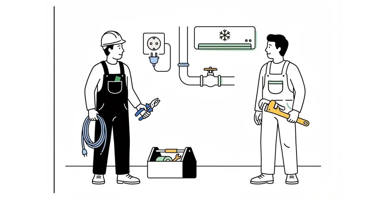
Aggregate range based on the published guides in this family, including project totals, hourly pricing, and unit pricing where relevant.
Maintenance
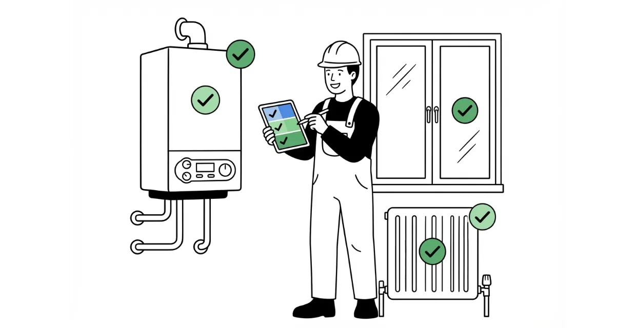
Aggregate range based on the published guides in this family, including project totals, hourly pricing, and unit pricing where relevant.
Moving Services

Aggregate range based on the published guides in this family, including project totals, hourly pricing, and unit pricing where relevant.
Minor Works
Aggregate range based on the published guides in this family, including project totals, hourly pricing, and unit pricing where relevant.
Renovations
Aggregate range based on the published guides in this family, including project totals, hourly pricing, and unit pricing where relevant.
Technical Services
Aggregate range based on the published guides in this family, including project totals, hourly pricing, and unit pricing where relevant.
Retail & Assembly
Aggregate range based on the published guides in this family.
Energy Suppliers
Aggregate range based on the published guides in this family, including project totals and unit pricing where relevant.
Construction
Aggregate range based on the published guides in this family, including project totals, hourly pricing, and unit pricing where relevant.
Installers
Aggregate range based on the published guides in this family, including project totals, hourly pricing, and unit pricing where relevant.
Maintenance
Aggregate range based on the published guides in this family, including project totals, hourly pricing, and unit pricing where relevant.
Moving Services
Aggregate range based on the published guides in this family, including project totals, hourly pricing, and unit pricing where relevant.
Minor Works
Aggregate range based on the published guides in this family, including project totals, hourly pricing, and unit pricing where relevant.
Renovations
Aggregate range based on the published guides in this family, including project totals, hourly pricing, and unit pricing where relevant.
Technical Services
Aggregate range based on the published guides in this family, including project totals, hourly pricing, and unit pricing where relevant.
Retail & Assembly
Aggregate range based on the published guides in this family.
Frequently Asked Questions
How much does a basic topographic survey cost in Spain?
The price of a basic topographic survey in Spain ranges between 300 € and 1,500 € depending on the land area and accessibility. For small plots (up to 1,000 m²) costs typically range from 300-500 €, while for medium-sized parcels (1,000-5,000 m²) prices are between 600-1,200 €. If the work includes additional services such as boundary marking or 3D plans, budgets can exceed 2,000-5,000 €.
How long does a topographic survey take to complete?
Completion time depends mainly on the size and complexity of the terrain, generally ranging between 3 days and 2 weeks. For small, accessible plots, fieldwork can be completed in 1-3 days, while large or difficult-to-access sites may require 2-3 weeks. Delivery of the final report and plans typically occurs within 5-10 business days after fieldwork.
What is included in a topographic survey quote?
A standard topographic survey includes fieldwork with precision equipment, 2D plan preparation, coordinates of relevant points, and a detailed technical report. Depending on the contracted budget, services may include boundary marking, 3D plans, survey of existing structures, or elevation studies. It is recommended to specify exactly which elements you need in the quote to avoid surprises in the final price.
Do I need a topographic survey before applying for a building permit?
Yes, in most cases the competent authorities require an updated topographic survey (generally no older than 2 years) to process building permits, parcel subdivision, or renovation projects on non-urban land. This documentation is mandatory to correctly register the property with the Cadastre and property registries. Without this document, municipal administrations typically reject permit applications.
How do I choose a trustworthy professional surveyor?
It is important to hire a qualified surveyor registered with the Professional Association of their autonomous community, verifying that they have the necessary insurance and certifications. Before hiring, request detailed quotes from several professionals specifying exactly the scope of work, and check references from previous projects. Make sure the quote includes delivery of plans in digital format and technical report, and that the delivery timeline is clearly stated.
Got more questions? Contact us!
Got more questions? Contact us!
Frequently Asked Questions
How much does a basic topographic survey cost in Spain?
The price of a basic topographic survey in Spain ranges between 300 € and 1,500 € depending on the land area and accessibility. For small plots (up to 1,000 m²) costs typically range from 300-500 €, while for medium-sized parcels (1,000-5,000 m²) prices are between 600-1,200 €. If the work includes additional services such as boundary marking or 3D plans, budgets can exceed 2,000-5,000 €.
How long does a topographic survey take to complete?
Completion time depends mainly on the size and complexity of the terrain, generally ranging between 3 days and 2 weeks. For small, accessible plots, fieldwork can be completed in 1-3 days, while large or difficult-to-access sites may require 2-3 weeks. Delivery of the final report and plans typically occurs within 5-10 business days after fieldwork.
What is included in a topographic survey quote?
A standard topographic survey includes fieldwork with precision equipment, 2D plan preparation, coordinates of relevant points, and a detailed technical report. Depending on the contracted budget, services may include boundary marking, 3D plans, survey of existing structures, or elevation studies. It is recommended to specify exactly which elements you need in the quote to avoid surprises in the final price.
Do I need a topographic survey before applying for a building permit?
Yes, in most cases the competent authorities require an updated topographic survey (generally no older than 2 years) to process building permits, parcel subdivision, or renovation projects on non-urban land. This documentation is mandatory to correctly register the property with the Cadastre and property registries. Without this document, municipal administrations typically reject permit applications.
How do I choose a trustworthy professional surveyor?
It is important to hire a qualified surveyor registered with the Professional Association of their autonomous community, verifying that they have the necessary insurance and certifications. Before hiring, request detailed quotes from several professionals specifying exactly the scope of work, and check references from previous projects. Make sure the quote includes delivery of plans in digital format and technical report, and that the delivery timeline is clearly stated.